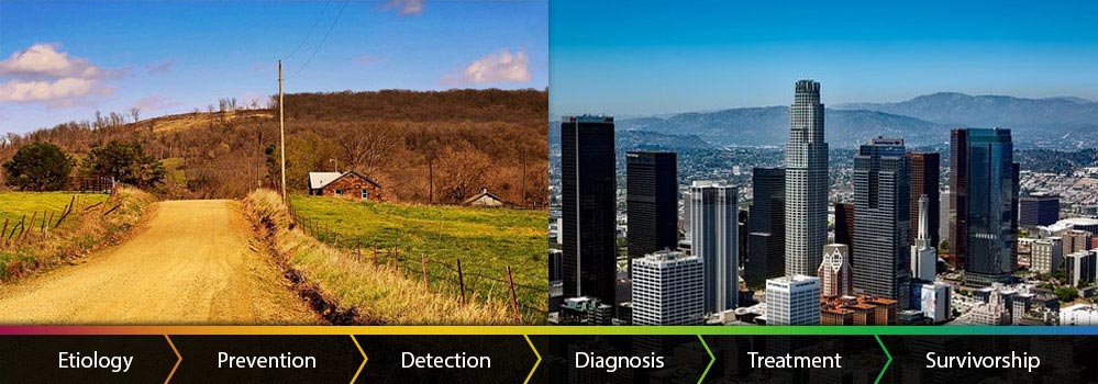
Geographic Information Systems & Science for Cancer Control
NCI GIS Portal for Cancer Research provides tools for mapping and download of cancer statistics, risk factors, cancer related tobacco policy data, and the information related to geographic patterns of cancer. It is intended for researchers, cancer control planners, cancer advocacy groups, and general public to inform and inspire our efforts to reduce cancer burden in the United States.

Spatial Context of Cancer
The spatial context in which people live is an important factor in cancer etiology and outcomes influencing a person’s risk of developing cancer, accessibility and quality of preventive and treatment services, and quality of life after surviving cancer.
Learn More About Spatial Context
An interactive digital atlas that enables users to generate geographic maps of cancer rates, risk factors for cancer, screening statistics, and other geographically based data related to cancer.

This web-based application serves as a visualization tool for the geographically defined catchment areas of NCI-designated Cancer Centers.

A set of narratives that use map-based explanations to explore various cancer-related topics.

An interactive web resource for mapping, query, and download of historical smoke-free policy data in the United States.